Maps ➜ Atlases| <div class="justify">
<h2 id="section-NBS_2FMuzikaIZvuk_2Fnarodno_pozoriste_beograd-Atlases">Atlases<a class="hashlink" href="#section-NBS_2FMuzikaIZvuk_2Fnarodno_pozoriste_beograd-Atlases">#</a></h2>
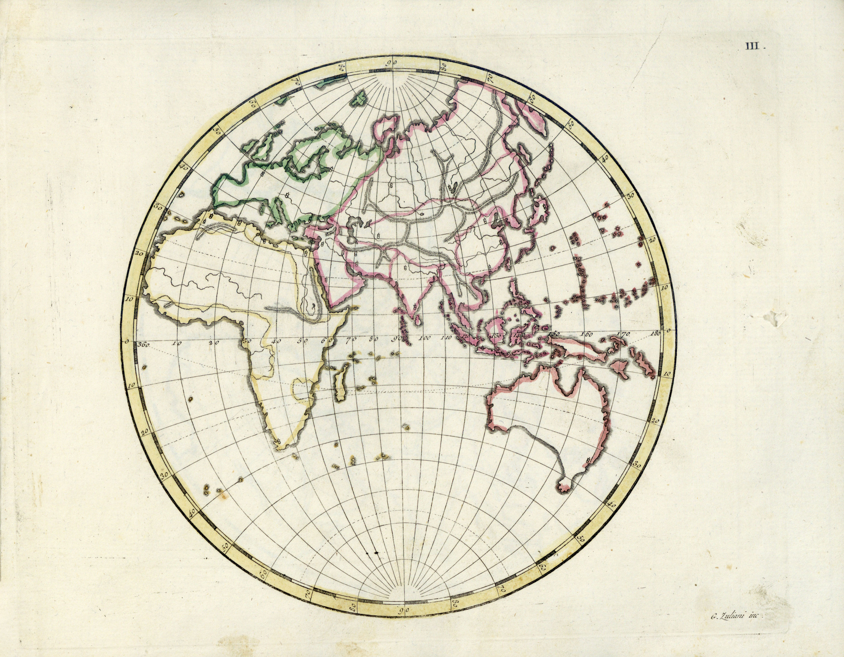
<h3 id="section-NBS_2FMuzikaIZvuk_2Fnarodno_pozoriste_beograd-Intheperiodbetweenthe16thandthe19thcenturyatlaseswereprintedabroad.TheypresentthegeographicalareaofSerbiaandtheneighbouringcountries.OneofthemisthefamousAtlasminorGerardiMercatorispublishedin1631intheNetherlands."> In the period between the 16th and the 19th century, atlases were printed abroad. They present the geographical area of Serbia and the neighbouring countries. One of them is the famous <i>Atlas minor Gerardi Mercatoris</i>, published in 1631 in the Netherlands.<a class="hashlink" href="#section-NBS_2FMuzikaIZvuk_2Fnarodno_pozoriste_beograd-Intheperiodbetweenthe16thandthe19thcenturyatlaseswereprintedabroad.TheypresentthegeographicalareaofSerbiaandtheneighbouringcountries.OneofthemisthefamousAtlasminorGerardiMercatorispublishedin1631intheNetherlands.">#</a></h3>
<br />
<p /></div> |
TypeAuthorPublication yearLanguage | 1 |
|
|
Author| Соларић, Павле
|Solarić, Pavle
|Зулијани, Ђовани Антонио |
| Publication year| 1804 |
| Access rights| PDM |
|
|
|
|
|
|
|
|
|
|
|


